Experience


January 2020 – Present
Le Relecq-Kerhuon

CEO / Founder

Geo4Seas


July 2016 – January 2020
Plouzané

R&D Project manager

Terra Maris


January 2013 – June 2016
Brest

Postdoctoral Research Fellow

CNRS UMR 6554 LETG


October 2008 – July 2012
Brest

PhD student in Marine Sciences - Geography

European Institute for Marine Studies


September 2005 – August 2007
Brest

M.Sc.student in Coastal and Marine Sciences

European Institute for Marine Studies


September 2002 – June 2005
Rennes

B.Sc.student in biology

University of Rennes 1

Projects

*

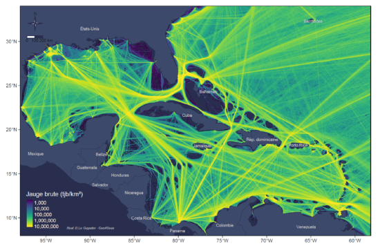
Trafic

Maritime transport, port attendance and inequalities environmental issues in the Caribbean.

Appeal

Socio-ecosystem approach to the impact of offshore floating wind farms.
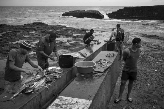
Paddle

Planning in a liquid world with tropical stakes
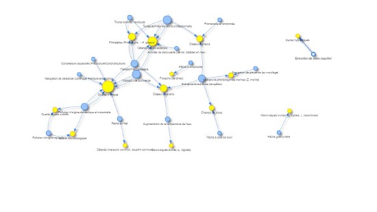
Dactari

Dynamics of maritime activities: geographical and temporal information to support knowledge and scenarisation.
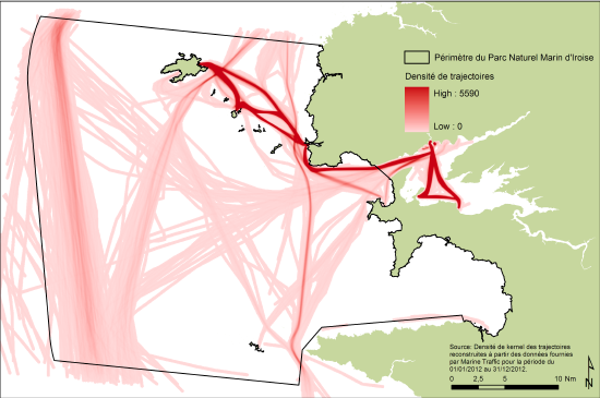
Cartahu

Maritime human activities mapping.
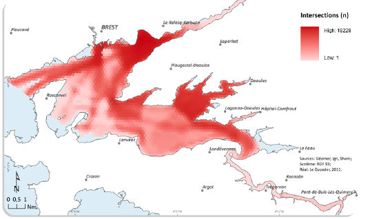
Rad2Brest

Human activities in bay of Brest: models and simulations.
Selected Publications

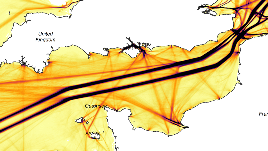
The aim of this paper is to illustrate how the AIS data processing and analysis can produce adequate information for MSP: maritime traffic density, shipping lanes and navigation flows, hierarchical network of maritime routes, alleged fishing zones, spatio-temporal interactions between activities (potential conflicting uses or synergies). The conclusion looks in particular at the legal questions concerning the use of AIS.
Ocean & Coastal Management, 2018

Publications

More Publications

. Pairing AIS data and underwater topography to assess maritime traffic pressures on cetaceans: Case study in the Guadeloupean waters of the Agoa sanctuary. Marine Policy, 2022.

PDF Project Source Document DOI

. How can Automatic Identification System (AIS) data be used for maritime spatial planning?. Ocean & Coastal Management, 2018.

Preprint Project Source Document DOI

. A Dynamic GIS as an Efficient Tool for Integrated Coastal Zone Management. ISPRS International Journal of Geo-Information, 2014.

PDF Project Source Document DOI

. Local and global spatio-temporal entropy indices based on distance-ratios and co-occurrences distributions. International Journal of Geographical Information Science, 2014.

Project Source Document DOI

Recent Posts

Content This document provide R script and data to reproduce the comparison between the spatial distributions of the observed and the estimated descriptors (states, fishing grounds and fishing intensity) for the variegated scallop dredging trip as illustrated in the supplementary figure S5 in Le Guyader et.al (2017): Le Guyader,D., C. Ray, F. Gourmelon, D. Brosset., (2017) - Defining high-resolution dredge fishing grounds with Automatic Identification System (AIS) data. Aquatic Living Resources.

CONTINUE READING

Teaching

I am an external lecturer at university and engineering school (Universidade dos Azores (Uac), University of Western Brittany (UBO), Agrocampus West, and University of Rennes 1).

The courses focus on:

  • Introduction to Geomatics
  • Spatial and GIS Databases
  • Spatial and temporal analyzes with R
  • Modeling and simulation of activities in the coastal sea
  • Maritime Spatial Planning & GIS

(Geo)Viz

*

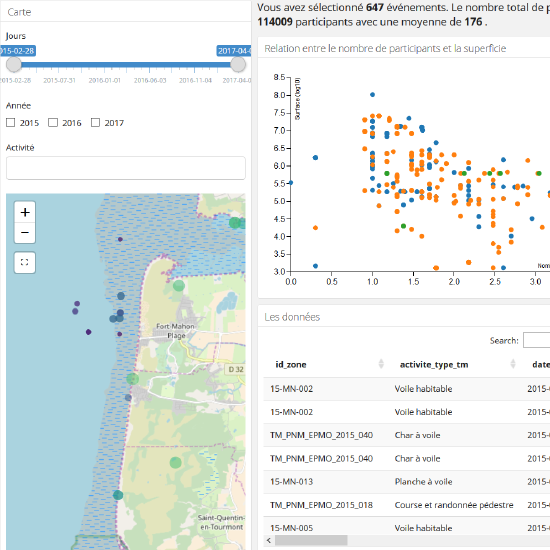
Coastal recreational activities

Exploring the spatio-temporal distribution of coastal recreational activities

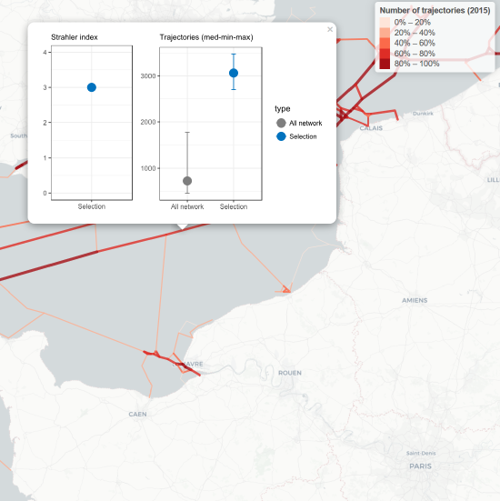
The Channel shipping network

Spatial and hierarchical network of the Channel maritime traffic based on AIS data analysis

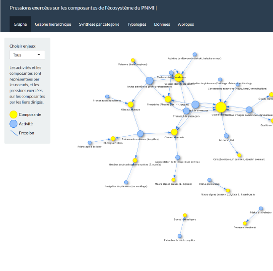
Pressures

Human pressures on the ecosystem components in the Iroise Sea Marine Protected Area

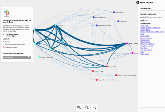
Temporal and spatial interactions

Temporal and spatial interactions between organized maritime activities in bay of Brest (2009)

Contact