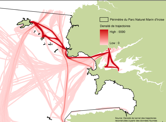
Maritime human activities mapping
Grant: Fondation de France
Duration: 2 years (2012-2014)
Summary:
In the general context of maritime activities development, many protections and rules are set up in the coastal sea. Yet, paradoxically, the knowledge of maritime activities, especially leisure activities often remains fragmentary. The CARTAHU project propose a state of the art of observation of human activities at sea methods, and discusses its methodological, scientific and social issues, from a perspective of knowledge and management of the coastal sea. At this stage of our work, this project can’t achieve the production of a general map of maritime activities in the Iroise Sea. But it has allowed the identification of relevant methods that can lead to such a map. These methods (eg. AIS, semaphore data and a combination of GPS tracking and questionnaires) will have to be integrated into clumps whose configuration and objectives are to be jointly defined with users and managers of the coastal sea. Their participation is essential to produce reliable reference data, regularly maintained in optimized operational and economic conditions. It ensures as well that the observation won’t necessarily become surveillance, fully integrating the ethical dimension of such data production, as indispensable baseline for the implementation of public policies applied to the coastal sea.
